
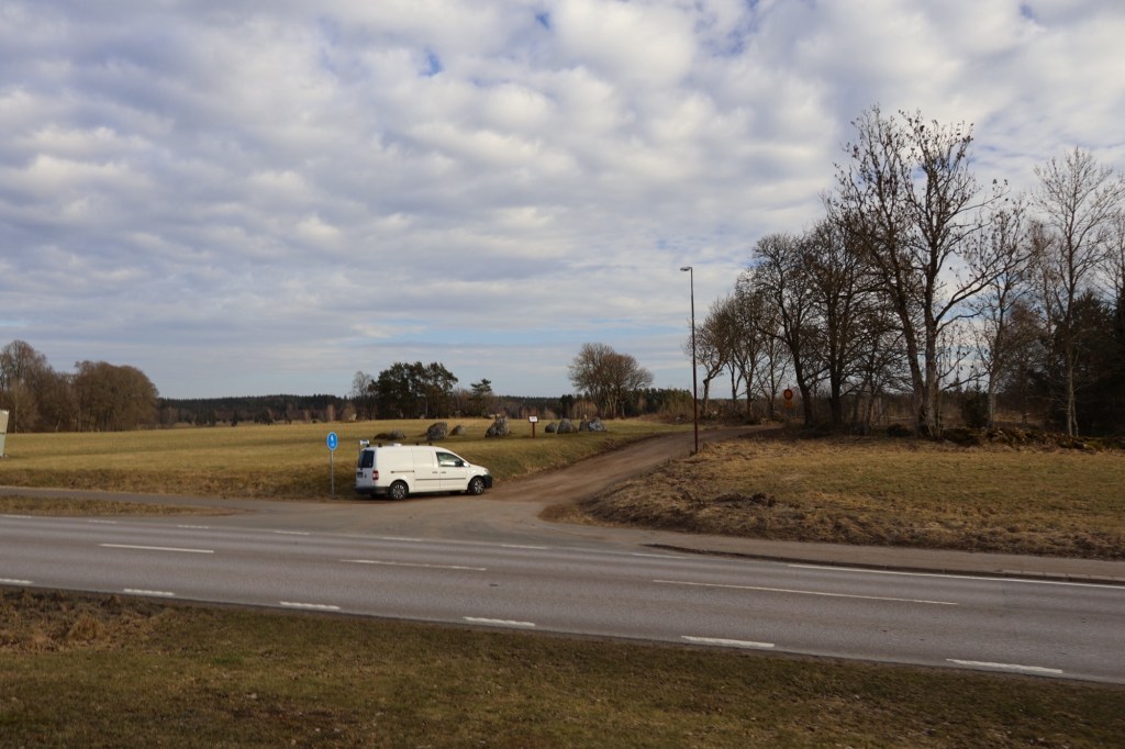
I have driven past this rune stone several times without being able to stop. Either because of time constraints and the lack of a good parking space close by. A problem that is more common than you would think as both private people authorities generally want to make our cultural heritage accessible.
This time however it would not stop me from exploring this site in the outskirts of the oddly named village of Trädet (The Tree) located in the province of Västergötland, Sweden. Even if the name today is read as the tree, the name actually comes from the Swedish word for fallow (träda). The older name of the area are Kölaby.
The river Ätran runs through the village and eventually reaches the sea Kattegat in the province of Halland. Ätran are still a salmon river which historically has been an important source of food for the people here. The river was also a very important transport route both by boat and by the ancient hollow road called Ätrastigen. This road that has also been know by the name Redvägen and Ridstigen have been in use for thousands of years and are most likely the reason why this site is located where it is. The road has been the location of several medieval battles between the kingdoms of Sweden and Denmark.
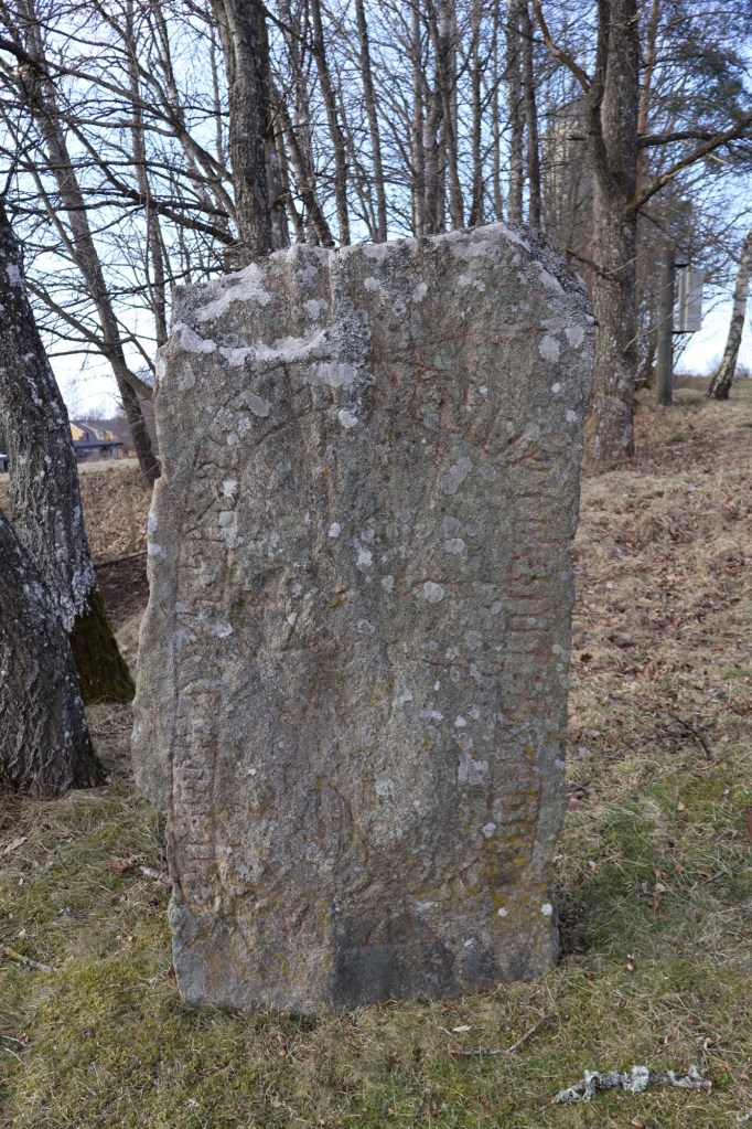
The rune stone that goes by the name Lillegårdenstenen or Vg 179 is not however standing in the same place as it was originally raised. It was originally found 1880 lying face down on land that were owned by the farm Lillegården. Before anyone knew that it was a rune stone it was shattered by a dynamite blast. In 1885 the stone was pieced together and raised by train station in Trädet that was just a few meters away from where it was originally found. My guess is that it was blasted while the railroad was constructed.
In 1938 it was moved again to its current location by the road side folk museum in Trädet.

It’s inscription reads:
• styr • þuþulfs • sun • rsþi • stin • þesi • eftiʀ • euit • bruþur • s– trk hrþa • kuþan •
Styrr, Þjóðulfs sonr, reisti stein þenna eptir Eyvind, bróður s[inn], dreng harða góðan.
Styrr, Þjóðulfr’s son, raised this stone in memory of Eyvindr, his brother, a very good valiant man.
The runic inscription dated to the 11th century are cut around a simple cross that in its shape with rounded cutouts in the cross angles makes it unique among rune stones in Västergötland. The way that the maker omits some vocals makes experts think that the same person that made this rune stone also made the rune stone by the name Vg 184.
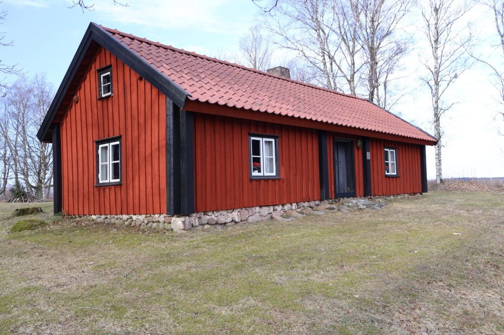
Close to the rune stone a small cabin is located. It goes by the name Kärrastugan and was moved here from Björnakärr together with a ängslada (a type of barn) from Skogslund that is constructed using Skiftesverks (post-and-plank) technique. This technique has been in use since the Viking Age at least.
The cabin was built in the 18th century and added to in the 1850s. Both buildings were moved here to be preserved in 1932 and were donated by landowner Johannes Johansson.

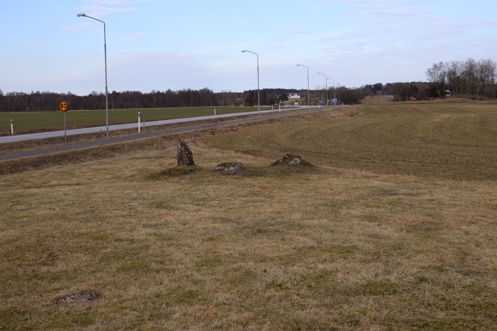
Behind the cabin there is a grave field called Högabacken that contains around 15 grave mounds that measure between 3 and 23 meters. They are probably dating from the Viking Age. This grave field is part of a greater one with graves from the entire Iron Age, but many have been removed through agriculture during the centuries.

The size of this grave field speaks of this place importance as a power center during this period. This is likely because it’s strategically important location controlling the trade route along the before mentioned road and river. This is also a location where it was possible to cross the river by wading.

On the other side of the road from the rune stone the older part of the grave field continues. Here a stone circle of the so called domarring are located. The grave dating from the Iron Age contains 11 stones that form a circle. Inside there are probably the cremated remains of several individuals.
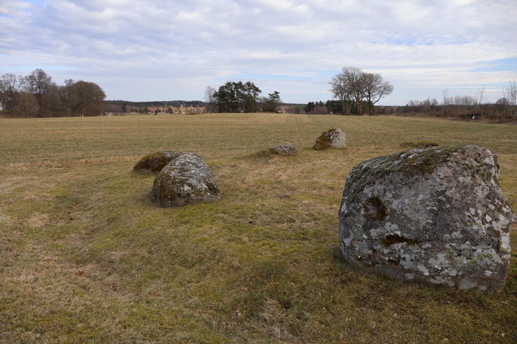
Close to the stone circle several stones between 1-2 meters tall have been erected.

Lämna en kommentar