I have just returned home from a week long course in archeology aptly named ”Arkeologi Längsmed Frykens Strand” (Archeology along the shores of Lake Fryken) at Klarälvdalens Folkhögskola.
The course was led by Archaeologist Helene Sjöstedt and it’s focused mainly on Bronze Age archaeology along the waterways of Lake Fryken. Even if we also learned a lot about early Iron Age archaeology, as well as some Stone Age.
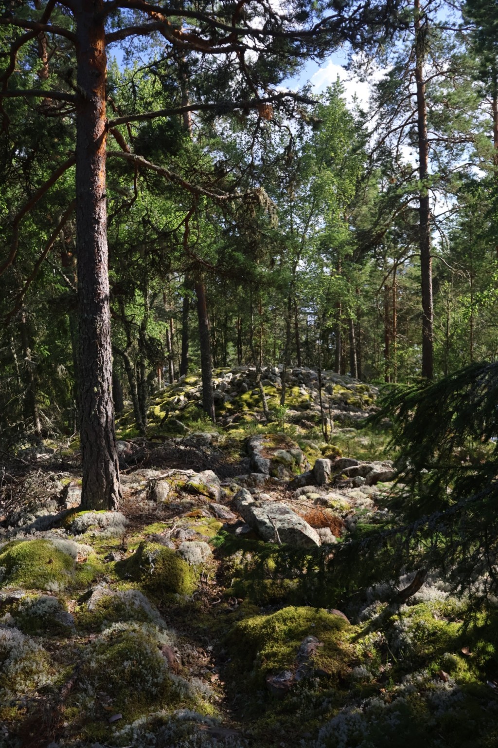
During this course we visited Lappnäsudden, a small peninsula on the eastern side of the lake. That has a lot of Bronze Age (1800-500 BCE) and early Iron Age (500 BCE-400 CE) structures.

To understand this place we need to first look at bit closer at the lake Fryken. The lake is long and very narrow and actually consists of three lakes on a row that are connected to each other by narrow straits. The lakes divide the Swedish province of Värmland into two half’s.
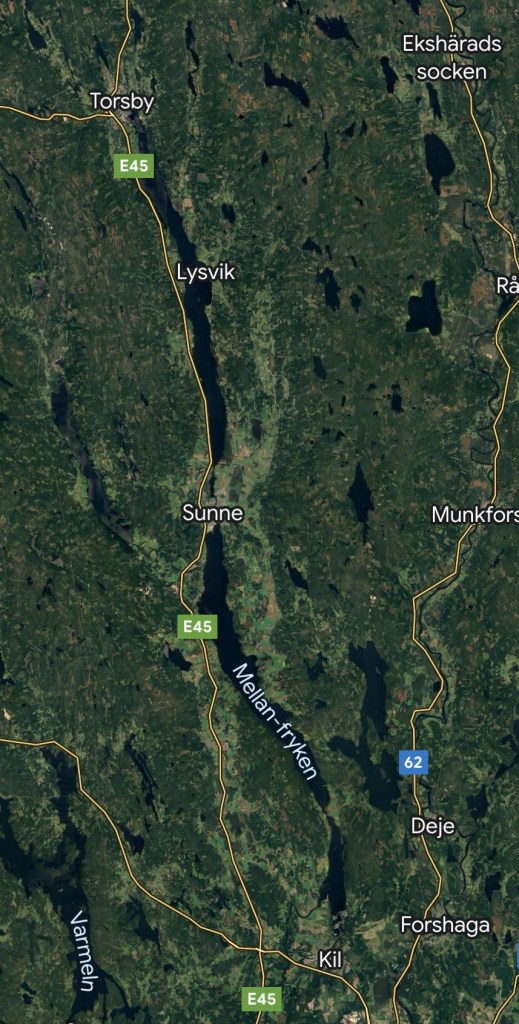
On the northern end of the most northern lake Övre Fryken the small town of Torsby is located. On the strait between the middle lake (Mellanfryken) and the northern one the small town of Sunne is located. On the southern end of the southern lake (Nedre Fryken) the small town of Kil can be found. From here it was possible for people to travel south on the river Norsälven to reach Lake Vänern and from there the western coast of Sweden via Göta älv.

The long and slim lakes measures a total 80 km long and it is only 3 km wide in its widest place. It is a very deep and cold lake with a depth of 135 m in its deepest part.
There’s several theories on where it got its name from. One is that it is a version of the Norse goddess Frigg/Frigga. The river Norsälven that connects the lakes with Lake Vänern used to be known as Frika Älv one more name that’s very likely a version of Friggs name. A lot of other places around the lake also has names that are tied to Norse Gods/Goddesses, not least Torsby. Fertility seems to have been a special interest to the people living here.
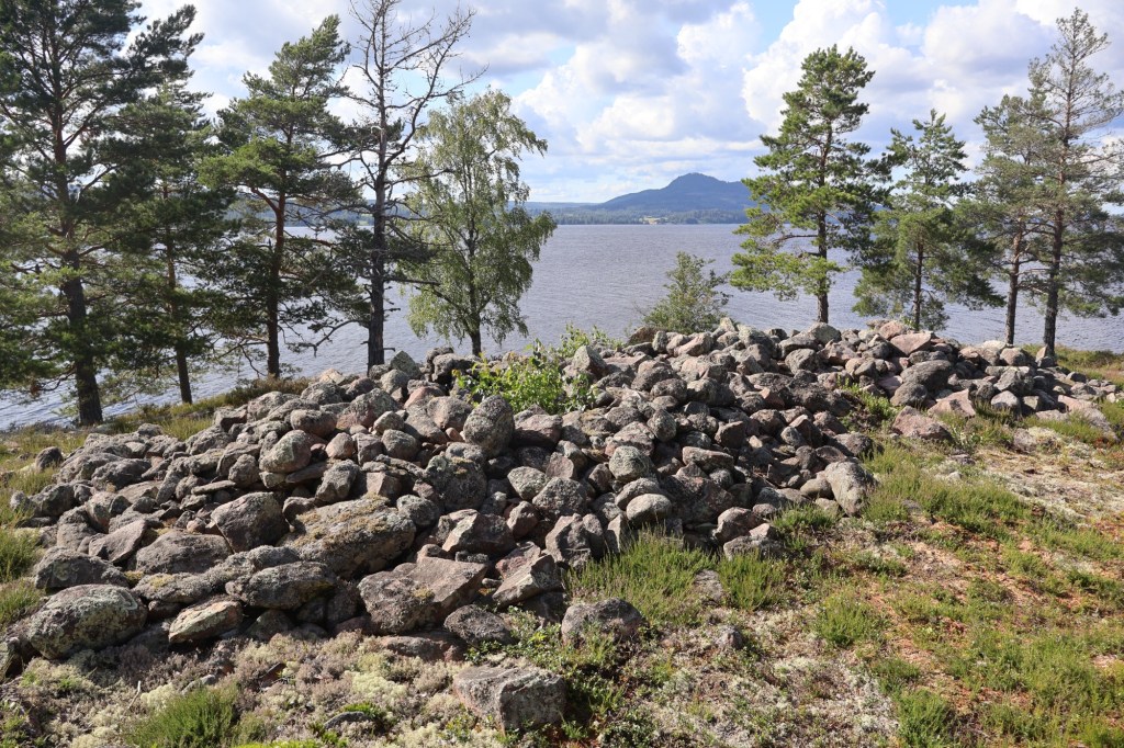
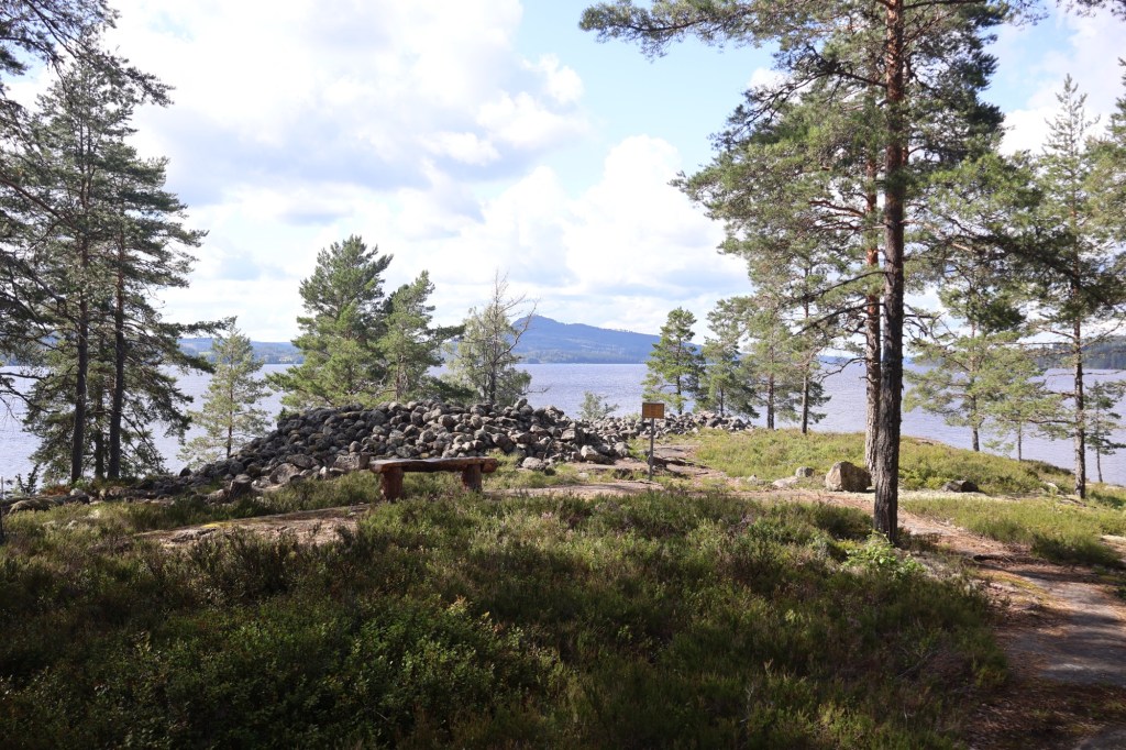
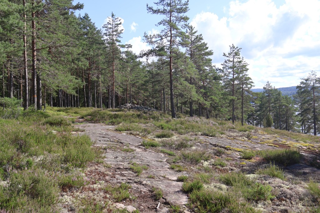
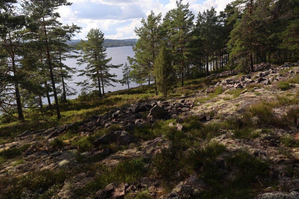
The peninsula that we are looking at in this post is located in Övre Fryken and it is pointing northwards. On the other side of the lake the view is dominated by the mountain Tossebergsklätten that measures 342 meters tall.
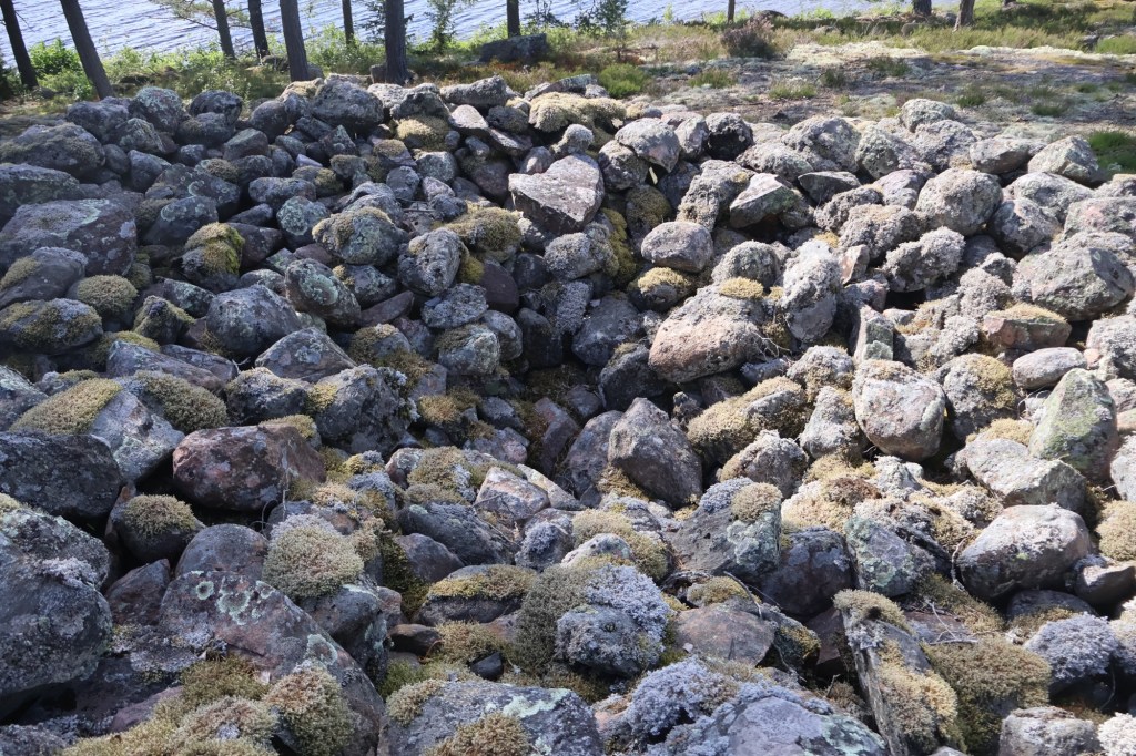
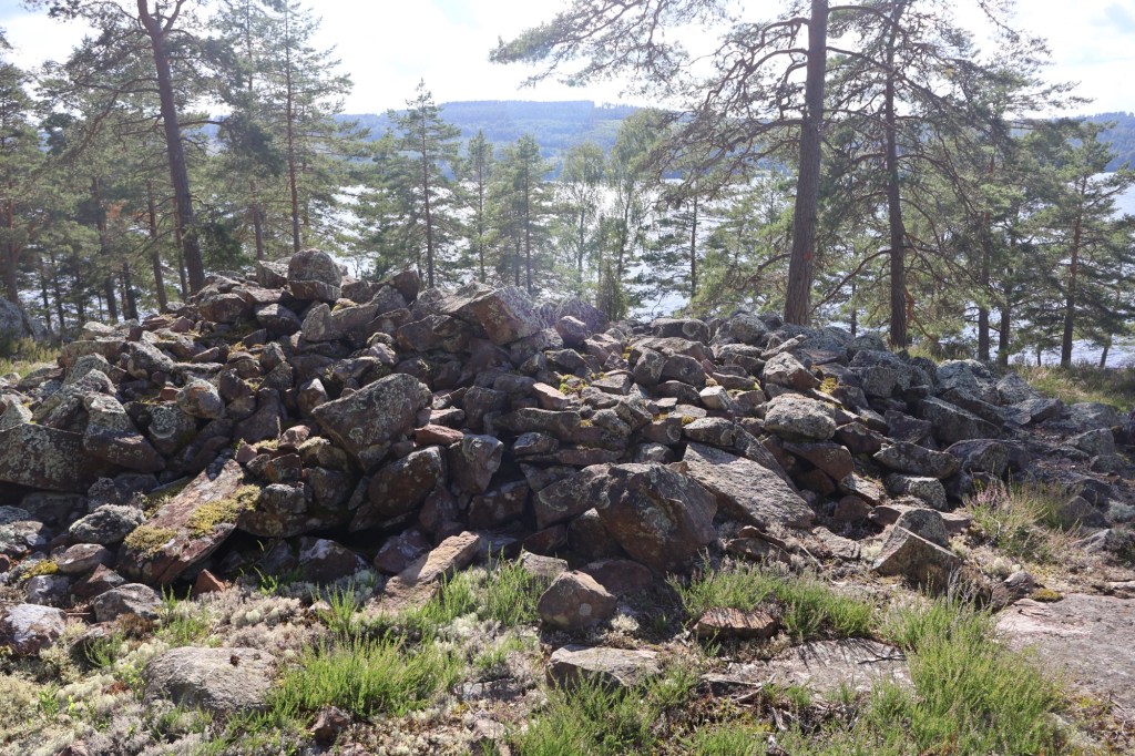
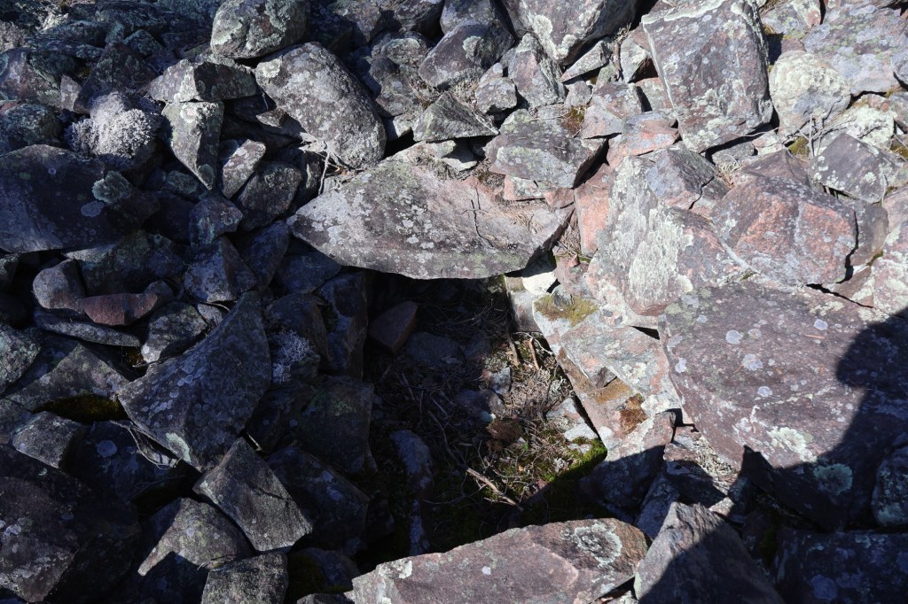
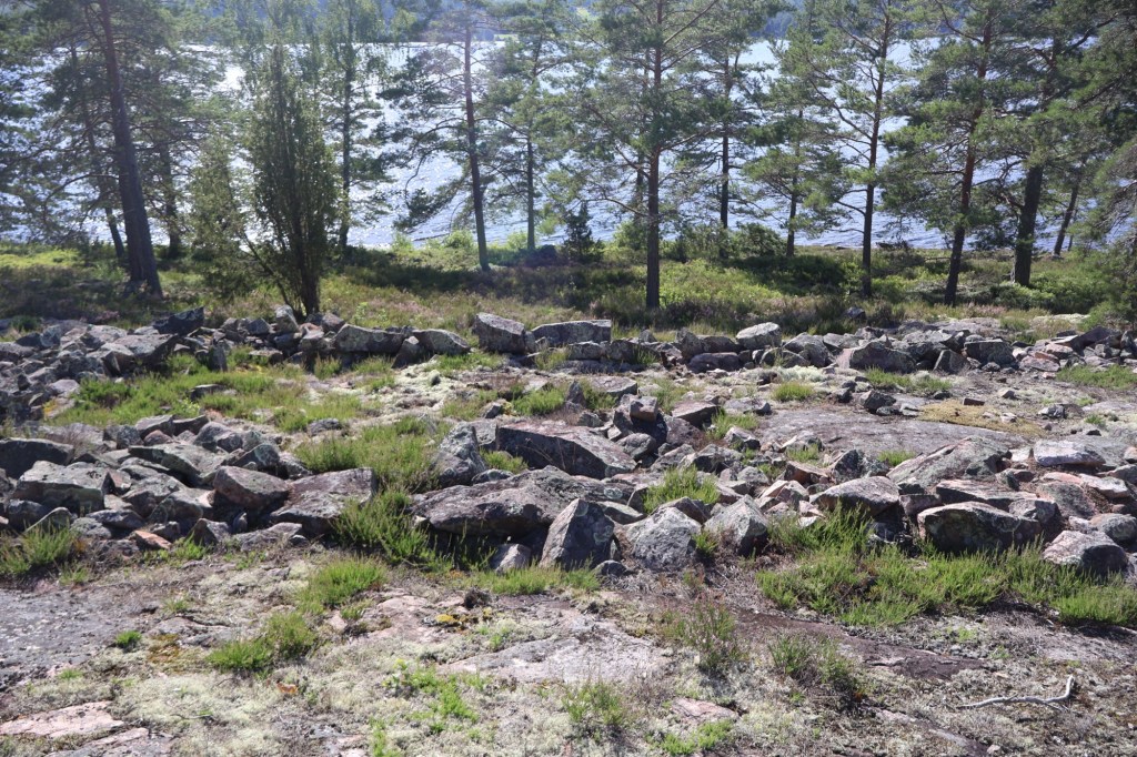
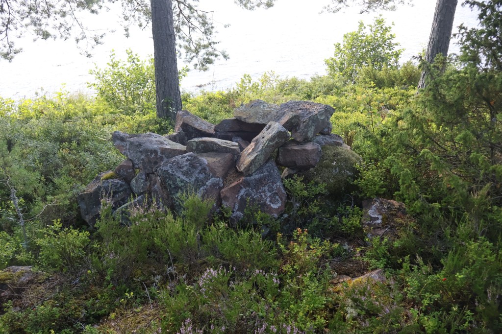
On the outermost peninsula three cairns are found on a line first a larger one measuring 12 m in diameter and 1,5 m high. In the middle the stone chest in which the dead was once placed is exposed and visible. The other two cairns are smaller and measures 8 m in diameter and 0,6/0,7 m high respectively. The two smaller ones have been damaged at one point, maybe by looters thinking that they contained treasure.
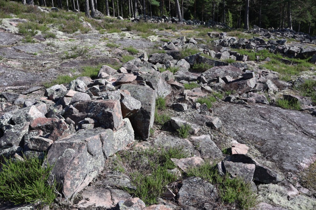
The three cairns are located on top of the ridge and are built using similar sized rocks which is typical of the Bronze Age.
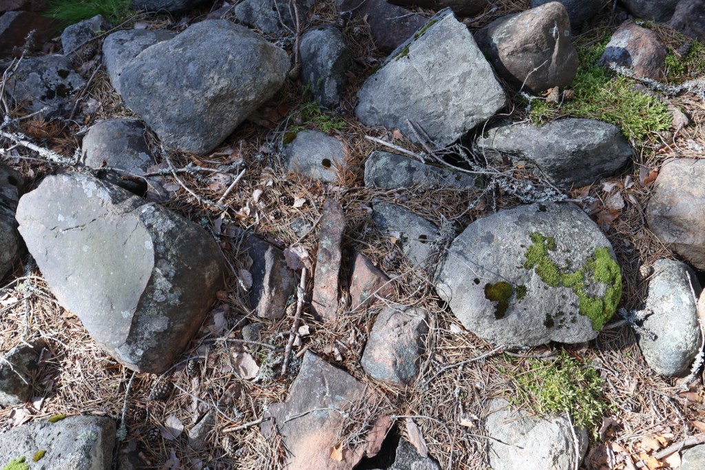
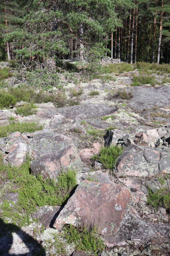
Close to these cairs a fairy mill has been found, but the exact location is uncertain. This is a type of petroglyph consisting of a small man made hole in the rock. Their use and meaning is unknown.
Further to the south along the shore lies two stone setting, a type of early Iron Age grave that has been constructed by rocks of odd shapes and it is not as high as the cairns. They measure 6-4 m in diameter and only 30-40 cm tall.
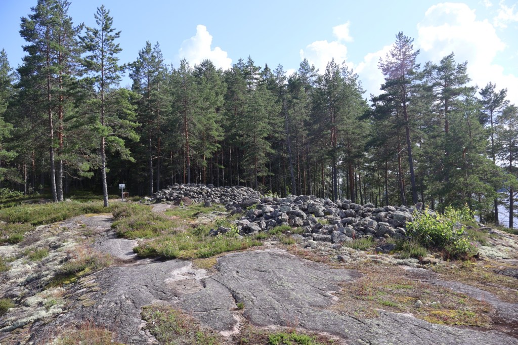
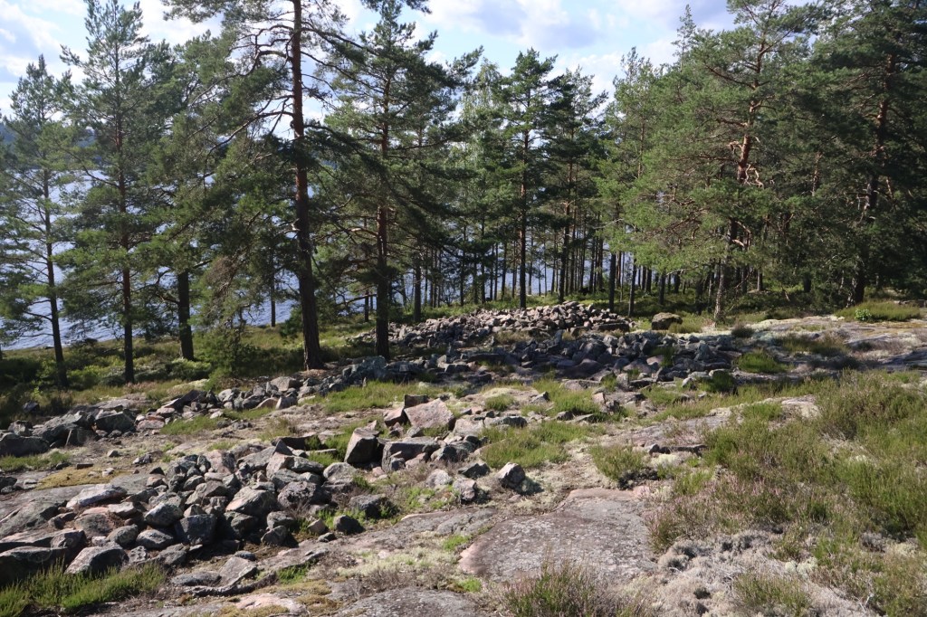
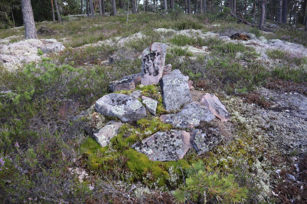
A bit further along the trail to the south there is a larger grave field consisting of 9 cairns with the tallest one measuring 10 meters in diameter and 1,5 m tall.
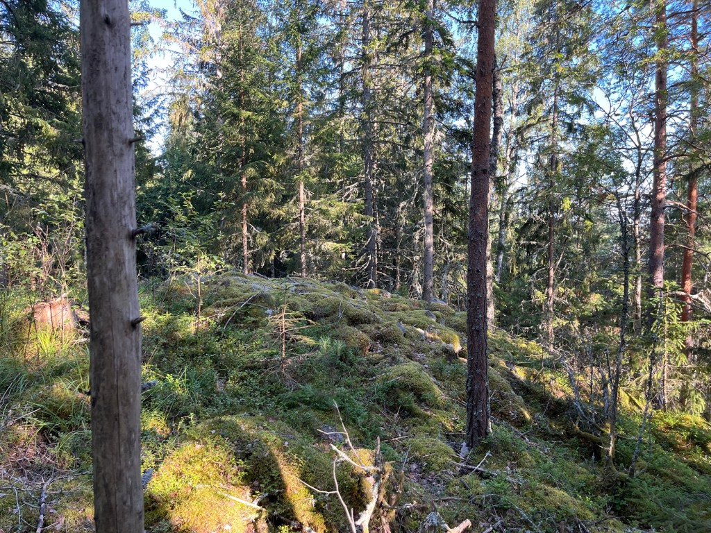
In the middle of the grave field a square stone structure can be seen. It is what the archaeologists call a cult house of a type called Brobyhängnad. The square measures 18 x 7 m on the outside which is unusually large. The square is located on top of the rock face making it difficult to build any real building on top of the walls. The square had no opening originally.
It is almost like the Bronze Age people here wanted to contain something inside. It is possible that they placed dead bodies in there while the flesh rotted to expose the bones before burial. Maybe they didn’t want their spirits to leave during the process.
It is impossible to know for sure. But at a later point, probably at the beginning of the Iron Age someone created an opening in the wall. Maybe to release something that they believed was trapped inside.
A peculiar thing about this is that the opening perfectly faces the tallest of the cairns on the ridge. As if they wanted the spirits to move to the cairn.
Down by the water there is a structure that seems to be a cairn that was never finished. Most of the cairns here are probably Bronze Age even if some are Iron Age. The Iron Age people seem to have wanted to be buried close to their ancestors from the Bronze Age.

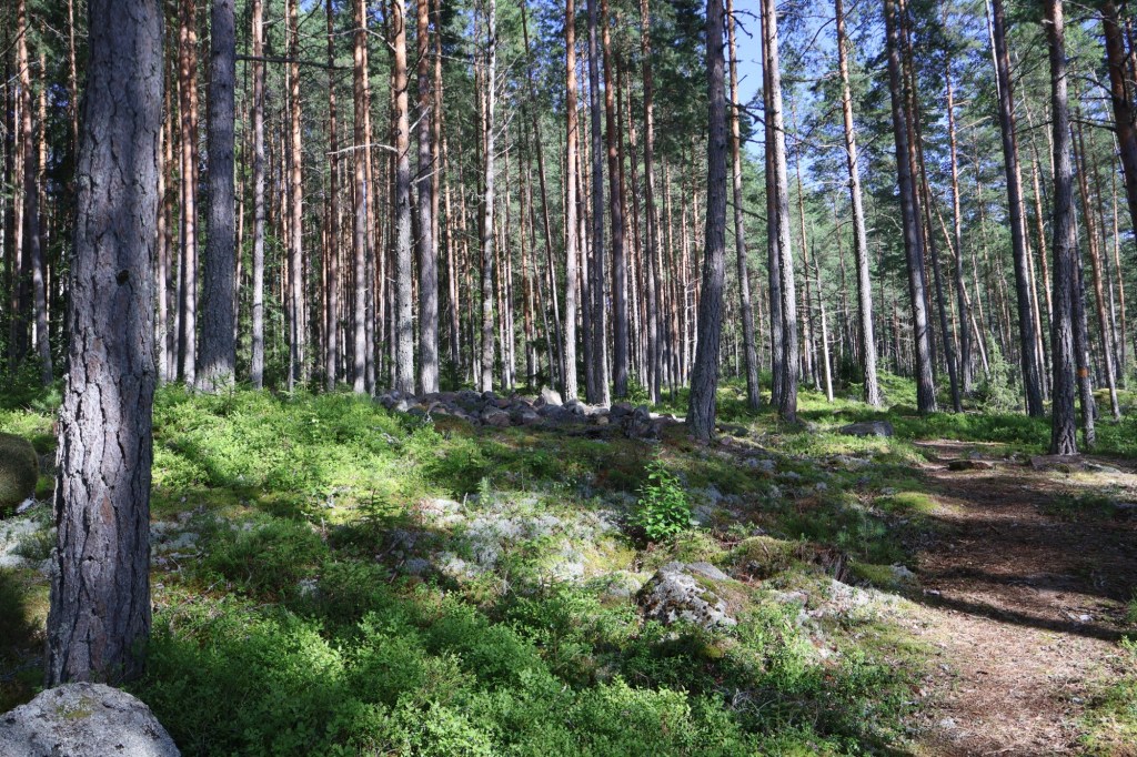
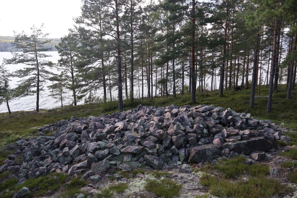
To the south east of the grave field on top of a ridge with very steep sides, with the exception of one side lies a large Bronze Age cairn among the trees. On the same ridge there is a boundary mark made in modern times.


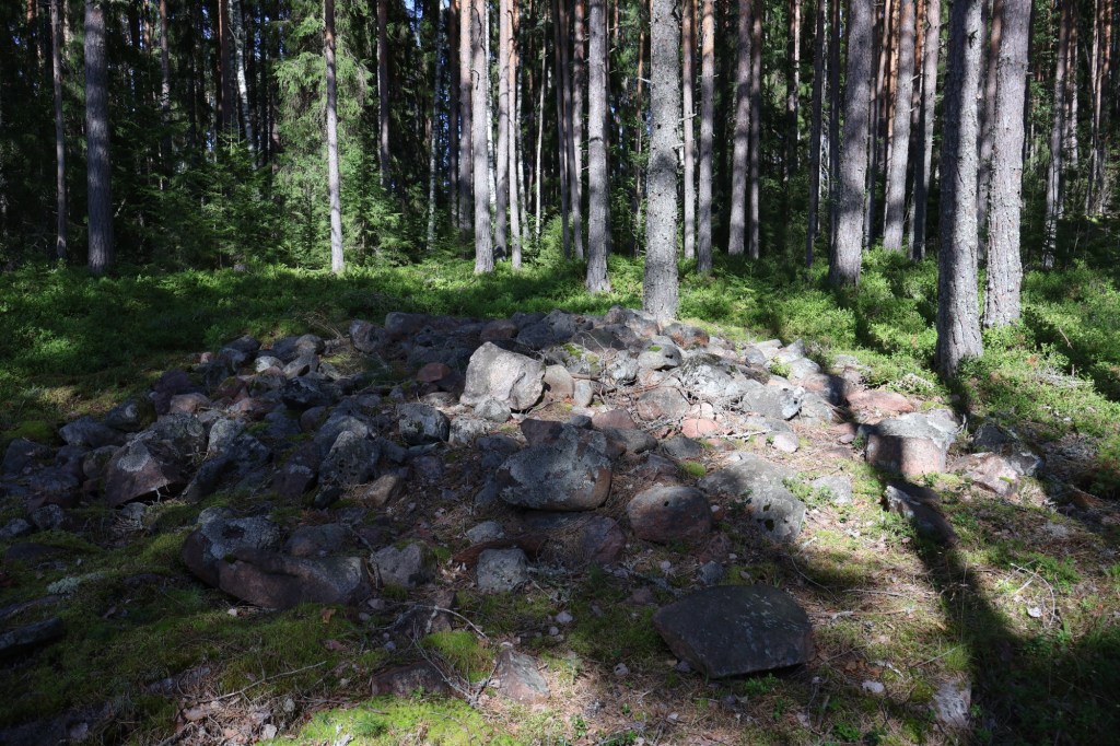
Below the steep southern side of the ridge there is a cairn that was discovered around two years ago. I didn’t know that it was there and stumbled upon it while picking some chanterelles for dinner. It is easiest to reach this one from the main gravel road near the car park. This is probably an Iron Age cairn based on its location.
There are many more graves to visit all along the eastern shore of the lake. They are all located on this side for some reason. Maybe the sun worshiping Bronze Age people wanted to see the sun set from their graves as a symbolic dying of the sun before being reborn the next day.
One thing is certain and that is that the graves were clearly visible by travelers on the lake telling everyone that they were here.
I would really recommend anyone with the slightest of interest in our past to attend this course. It was a great experience to spend time with like minded people learning about our past.


Lämna ett svar till Filip Falk Avbryt svar